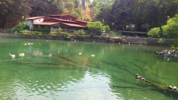
National parks, Family entertainment center
Milpa Alta 12000
What it is. A protected biological corridor straddling the southern edge of Mexico City and the north-west of the state of Morelos —the volcanic ridge of the Sierra Chichinautzin, which separates the Valley of Mexico from the valley of Cuernavaca. On the Mexico City side it covers the southern part of Milpa Alta; on the Morelos side it takes in Huitzilac, Cuernavaca, Tepoztlán, Jiutepec, Yautepec, Tlayacapan, Totolapan and Atlatlahucan.
Why it exists. It is the ecological hinge between two mountain systems, and the reason the pine and oak forest above the city survives: it recharges the aquifer, it holds native flora and fauna, and it links the national parks and lagoons along the ridge. Indigenous communities live and farm inside it, with their own traditions, which is why access is regulated rather than free-for-all.
Visiting it. This is not a park with a gate and a ticket office. Access is through the towns along it —Tepoztlán, Huitzilac, the Milpa Alta villages— and the sensible way in is with a local guide or a registered community tourism operator. Go in dry season, start early, dress for altitudes above 2,500 metres and take everything out with you.
 Facebook
 Twitter
 Instagram